> Google Maps purchases most of its imagery from third-parties these days
Maps maybe, but Streetview? Rainbolt just did a video with two Maps PMs recently and it sounds like they still source all their street view themselves considering the special camera and car needed, etc.
Maybe the end-user isn't Google Maps, but TomTom have a pretty comprehensive street-view-ish product for private buyers like car companies, Bing and Apple Maps called MoMa.
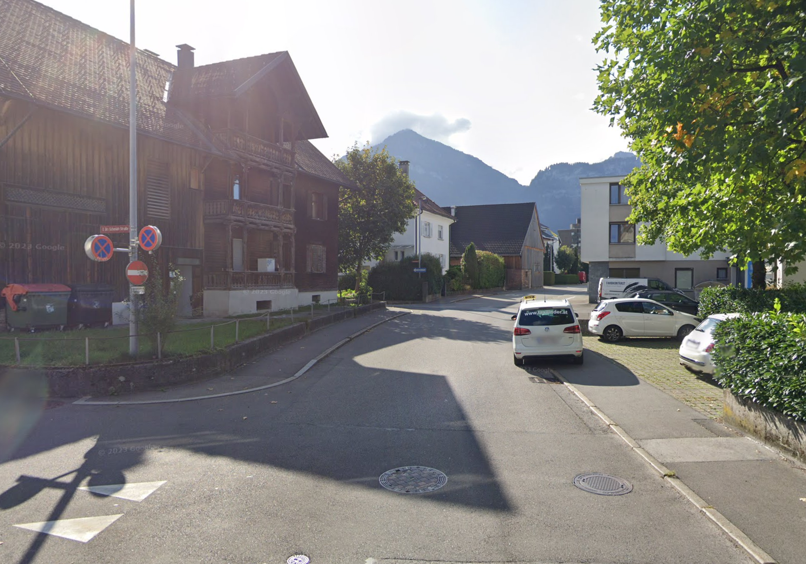
I'd be surprised if this building[0] wasn't included in their dataset from every road-side angle possible, alongside every piece of locational metadata imaginable, and I'd be surprised if that dataset hasn't made it into OpenAI's training data - especially when TomTom's relationship to Microsoft, and Microsoft's relationship to OpenAI, is taken into account.
You can upload your own panoramic images to Street View, people do this for hiking trails. But I'm sure 99% of streetview imagery is Google-sourced and Geoguessr might not even use user-submitted imagery.
Trekker coverage is often official, too. I think you are confusing this with photospheres. Also important to note that there is vehicle coverage that is unofficial.


Maps maybe, but Streetview? Rainbolt just did a video with two Maps PMs recently and it sounds like they still source all their street view themselves considering the special camera and car needed, etc.